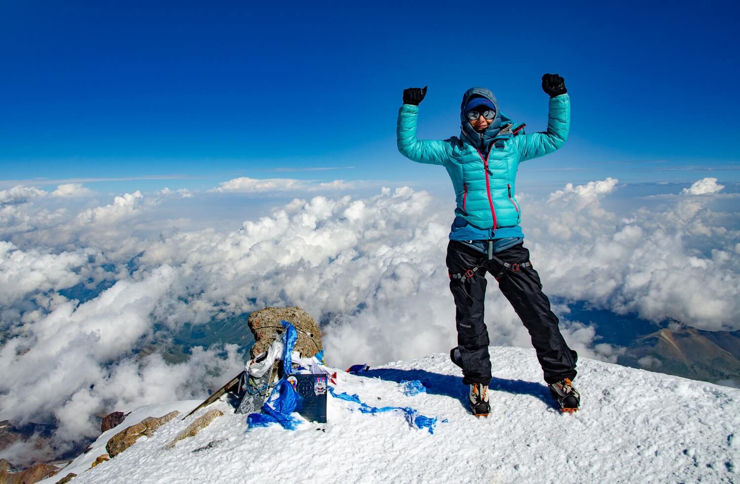
The Caucasus is not only Georgia; most of it actually belongs to Russia, with the towering Mount Elbrus. The name “Elbrus” most likely comes from Persian and means “shining”. It also has different names in the languages spoken in its vicinity. The Karachay-Balkar name “Mingi tau” means Eternal Mountain, and the Kabardian “Oszchamacho” denotes Mountain of Happiness.
The Roof of Caucasus is a dormant volcano with two peaks. On its slopes, there are 23 different glaciers. Mount Elbrus is one of the Seven Summits and, therefore, is extremely popular. Usually acclimatization takes place during the Mount Kazbek trek in Georgia, followed by a dynamic three days’ Mount Elbrus climb. More about organizing a trip to Mount Kazbek and Mount Elbrus you can read: HERE. But if you only want to conquer Mount Elbrus, your acclimatization must take place in Russia. Here you can find very useful information about acclimatization routes near Elbrus.
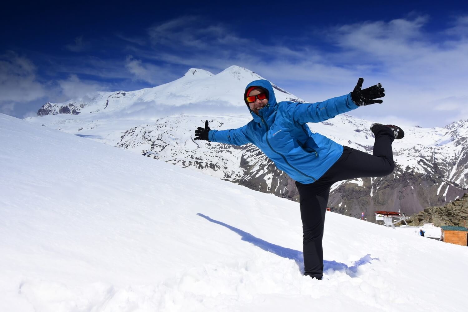
Mount Elbrus is located in the Kabardino-Balkar Republic in the North Caucasus. It is worth mentioning that the Roof of Caucasus belongs to the Prielbrusye National Park zone. You need permission to enter many areas located on the border. However, we can recommend you some routes which are available for everybody. The starting point is Terskol or Azau, with a cable car going up to an altitude of 3900 m above sea level. Up to an altitude of 3900 m, the Elbrus massif is quite boring. This is why recommend you to take your acclimatization treks in the surrounding valleys and climb the neighboring peaks, and then, after a couple of days, take a cable car to reach an altitude of 3900 m and continue your acclimatization process at higher altitudes. In the ELBRUS tab on our website you will find a plan of our trips to Mount Elbrus, during which we acclimatize this way. We hope they will be a source of inspiration for you. Below you’ll find the description of acclimatization treks around Elbrus which we usually take with our groups.
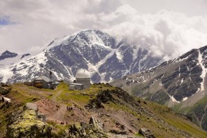
TREKKING TO DIEVICHYE KOSY WATERFALL AND ASTRONOMIC OBSERVATORY
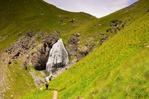
The trail begins in front of the mosque in the village of Terskol. On the right, we can see a monument to the soldiers fighting with Germans during the Great Patriotic War and during the fight for Elbrus. To enter the trail, we need to pay fifty roubles for admission to the National Park. When we reach a ramification, we turn left. There is a gravel path leading to the observatory (off-road cars can go there). From there, we can enjoy a view on the snowy Caucasian summits, such as Szhelda, Kogutai, Donguz-Orun and Nakra, as well as on an impressive gorge in the Azau valley. After about 2-3 hours, we reach the Dievichye Kosy waterfall. Its name can be translated as “Girls’ Braids”. The water here runs down with a turbulent stream from the melting Garabashy Glacier. The height of the waterfall is 25 meters, and the width is about 15 meters. From up close it seems huge and really resembles loose, girlish hair. From the waterfall we can climb even higher, to astronomic observatory Pik Terskol on the slope of Elbrus, at an altitude of more than 3000 m above sea level. Its white dome can be clearly seen from the neighboring peak, Mount Cheget. It is not possible to enter the observatory, as research is still conducted there.
TREKKING TO MUZHSKIE SLEZY WATERFALL THROUGH TERSKOL GORGE
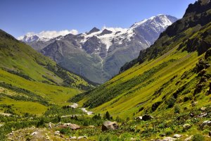
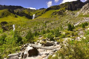
This acclimatization trek option is certainly less popular. However, it is much more varied when it comes to the terrain. The first part of the trek is the same as the one to the astronomical observatory Pik Terskol: the trail starts in front of the Terskol mosque and leads to the monument where we need to pay the admission fee. We reach the ramification and this time, we turn right. The route leads through the beautiful Terskol Gorge and ends at the foot of Mount Elbrus (if we are lucky, we might see the very peak of this two-headed volcano!). There, the melting water of the Terskol glacier, resembling the skin of a polar bear, starts transforming into a river, with the Muzhskie Slezy (meaning men’s tears) Waterfall. It is also called the Terskol Waterfall. Reaching the foot of this impressive waterfall is not always possible, as it requires you to cross the wild river. It may happen that the bridge is broken and we can only enjoy the view from a distance.

TREKKING TO VIEW POINT ON MOUNT CHEGET
Mount Cheget (3769 m above sea level) means “wooded slope” or “in the shade” in the Balkar language. In the wintertime, it is a part of a ski resort, famous for its extremely difficult black routes. In the summertime, it’s a main acclimatization route for the people preparing for conquering Mount Elbrus. You can get at an altitude of 3000 m with a chairlift. It should be noted that you cannot see Mount Elbrus from the base village, Azau. It’s from Mount Cheget where you can enjoy a beautiful view on the Roof of Caucasus. Our destination during this trek is not the summit, located in the border area, but a view point at an altitude of 3050 m. It is the last station of the chairlift. Views along the way surely reward the effort. We can admire the impressive Baksan Gorge and the panoramas of nearby summits, such as Kogutai or Donguz-orun and Nakra, with the “Seven” glacier between them. They make quite an impression from this perspective! At the turn of June and July Mount Cheget is decorated with blooming rhododendrons.

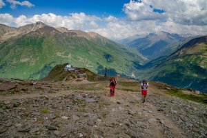
TREKKING TO DIESEL HUT
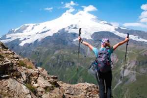
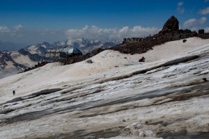
On the next day of our acclimatization, we take a chairlift to our basecamp on Mount Elbrus, located near the famous “Barrels” (3800 m). We should not waste any time, and after a short break we leave for our ascent. The goal is to reach the Diesel Hut at an altitude of 4055 m above sea level. This wooden building is a place for overnight stay for people climbing Mount Elbrus. It is located near the old “Prijut 11” shelter, which burned down in 1998 and was never rebuilt. Its name comes from the number of people it could accommodate (eleven geologists doing research on volcanic Mount Elbrus). With time, the small wooden building was replaced by a huge two-story shelter for 125 people. As the highest located shelter in the world, it was the pride of the region in the golden times of the Soviet Union. Until the fire, of course. Next to the Diesel Hut, there’s a monument commemorating people who died on Mount Elbrus. After we reach it, we go down to the basecamp near the “Barrels”.
TREKKING TO THE PASTUKHOV ROCKS AND THE OLD SNOW TUCK
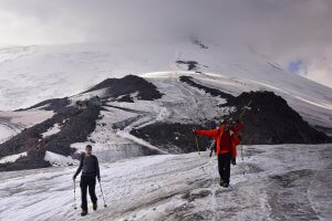
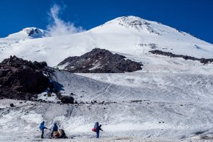
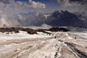
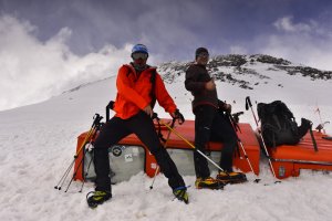
Another destination during our acclimatization for Mount Elbrus climb are the Pastukhov Rocks, located between altitudes of 4600 m and 4800 m, and a famous old snow tuck at an altitude of 5000 m. Our first stop, just like a day before, is the Diesel Hut, from where we continue the trek. On our left side, we can see a place where mountaineers set up their tents. The rocks owe their name to topographer and glaciologist Andrey Pastukhov. He was the first to create maps of the Caucasus and was one of the pioneers among mountaineers who conquered Mount Elbrus. We go up, step by step. At this point you should concentrate not to lose your rhythm. At an altitude of 5000 m, on the left side of the route, there’s a famous, snowy (and broken) snow tuck. This trekking is the culmination point of preparations for the Mount Elbrus summit push. We reach an altitude of 5000 m, so some people might experience the first symptoms of altitude sickness. If you decide to go from the basecamp on foot, you are going to take the same route during the summit push. Those who choose to go up with a snow tuck will start their way to the peak about 50 m after the old snow tuck. We have described the details of the summit push and using snow tuck: HERE.

If you have any questions about Mount Elbrus or other Caucasian mountains, feel free to contact us here: info@mountainfreaks.ge or via our Facebook page: Mountain Freaks – Mountain Travel & Adventure Agency.
